

Welcome to a new, belated edition of ‘Last Week in Earth Observation’, containing a summary of major developments in EO from the last week and some exclusive analysis and insights from TerraWatch.
If this was forwarded to you, please subscribe to receive EO market analysis and insights.
Four Curated Things
Major developments in EO from the past week
1. Contractual Stuff: Funding, Contracts and Deals 💰
Funding
- French EO startup Unseenlabs, which is launching a satellite constellation for maritime surveillance has raised $92M in a Series C round;
- Satellite-based infrastructure monitoring firm AiDash extended its Series C round and added energy firm Duke Energy as a strategic investor;
- Gro Intelligence, an agtech startup that uses EO data laid off over half of its employees and secured some last-minute funding;
My take: Unfortunately, this looks like a classic case of an EO (or EO-enabled) startup that is really a custom, project-based consultancy disguised as a scalable, product-based business.
I have tracked Gro Intelligence over the years and they really have a great product (or a series of products), but unfortunately, like most companies in the EO ecosystem, they might have tried to do too many things at the same time - because of what the technology allowed them to do as opposed to where the recurring revenue potential lied. Wish them the best!
Contracts
- SAR data provider Umbra Space was awarded a follow-on study contract by the US National Reconnaissance Office, with a contract value of $900,000;
- The UK Space Agency awarded contracts to 12 organisations, worth roughly £200,000 each, as feasibility studies to develop EO-based solutions;
Earnings
- Publicly trading EO company BlackSky reported $35.5M as revenues for Q4 2023, totalling $94.5 in yearly revenues.
2. Strategic Stuff: Partnerships and Announcements 📈
Partnerships
- EOS Data Analytics, a Ukraine-based EO firm is partnering with Australian soil carbon project developer, AgriProve to measure soil carbon using EO;
- Location intelligence firm Mapbox announced a partnership with satellite imagery firm Maxar and data cloud firm Snowflake, to build a digital twin solution for the telecommunications industry;
Announcements
- Floodbase, a US-based startup that offers EO-based parametric insurance products has announced a fast-paying flood insurance scheme in Africa.
- Planet, Microsoft and the Institute for Health Metrics and Evaluation launched an initiative to map climate-vulnerable populations using satellite imagery, AI and demographic data.

3. Interesting Stuff: More News 🗞️
- An Iranian EO satellite launched on a Russian launch vehicle reflecting deeper scientific cooperation between the two U.S.-sanctioned countries;
- Russia also launched its Meteor-M No. 2-4, a weather satellite, adding to its fleet of operational meteorological satellites;
- The Copernicus Climate Service released Climate Pulse, an interactive and intuitive tool to understand key global climate variables.
4. Click-Worthy Stuff: Check These Out 🔗
- This article that discusses how NASA satellite imagery and Google Earth Engine were used to build a real-time monitoring system for tiger habitats;
- This paper that shows how reforestation has led to a slowing down of anthropogenic warming in the US, indicating its importance for climate.
EO Summit: Announcing the First Round of Sponsors
I am excited to unveil the first round of sponsors for EO Summit: Kuva Space, EarthDaily Analytics, Asterra, Esri and Open Cosmos.
Interested in sponsoring? Last few slots open - check out the brochure.
More announcements on sponsors and participating user organisations to come in the coming weeks. Stay tuned!

Early-Bird Tickets
The early-bird tickets are on sale and will be open until March 10. Benefit from the low price, EUR 249 per ticket and reserve your place now!
One EO Discussion Point
Exclusive analysis and insights from TerraWatch
5. Edge Computing for EO
Edge computing (aka in-orbit data processing (or) onboard processing) simply means having the ability to process data closer to where it’s being generated, enabling processing at greater speeds and volumes, leading to greater action-led results in real time. I first got exposed to edge computing in EO when ESA announced the PhiSat mission in 2019, the first satellite to demonstrate using AI to process EO data in orbit. The mission showed the potential of AI as a tool for cloud detection onboard a hyperspectral imager.
Commercial EO satellites of the past and present focused on data availability, based on assumed user needs. My thesis is that the commercial EO satellites of the future will focus on latency and usability, based on validated user needs.
Latency, as in, how quickly they need the information delivered from space to the ground. Usability, as in, in what form they need the information (raw data vs. analysis-ready data vs. readymade analytics).
The two technologies that will enable this evolution will be edge computing (or onboard processing) and inter-satellite links (or data relays). In one of the past deep dives for the paid subscribers of the newsletter, I wrote about Edge Computing for EO including the process of edge computing, its potential for EO, the commercial landscape, and the so-what. The figure below shows a simplified overview of the process of edge computing in EO.
Become a paid subscriber to read the full essay!

This edition of the newsletter is brought to you by …

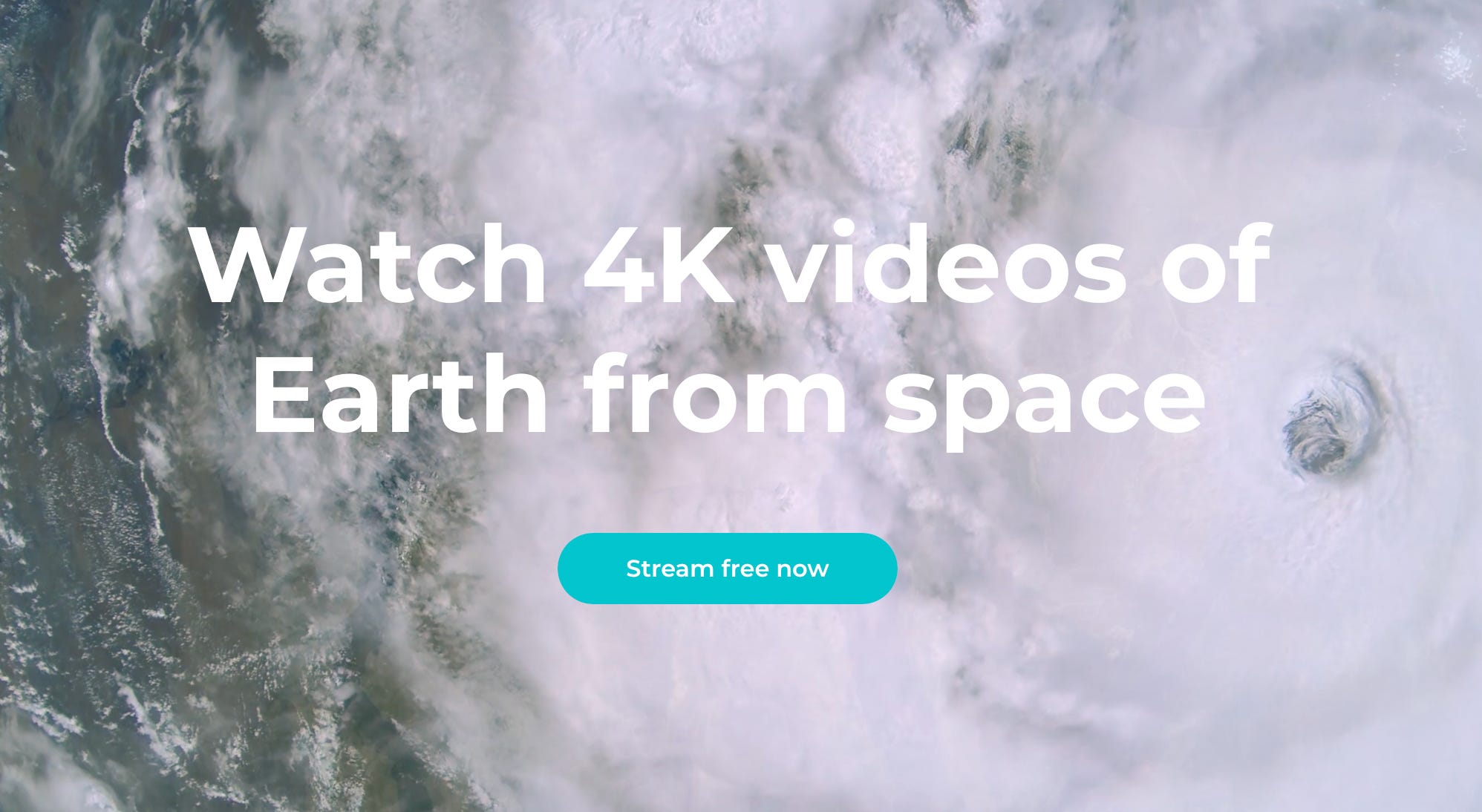
Sen, a British startup, streams high-resolution videos from space to inform, educate, inspire and benefit all humanity with an innovative approach to disseminating satellite data.
Sen streams 4K video from its video cameras in space. With its next mission launching in March, Sen will expand its video content to include a constant live stream of Earth from the International Space Station as well as 4K video of spacecraft arriving, docking and departing the ISS.
Sen’s subscription service includes exclusive video, downloads and location tracking. Sen is free for everyone to view, so register today and start watching Earth in beautiful 4K.
Scene from Space
One visual leveraging EO
6. Free SAR Data from Umbra
To mark Umbra’s milestone of making over $4M worth of SAR data freely available to all via the Open Data Program, here is one of my favourite images from the collection, showing a bustling part of Singapore.

Until next time,
Aravind.


